The Wet Woodland Plant Survey
Stratified Random Sampling
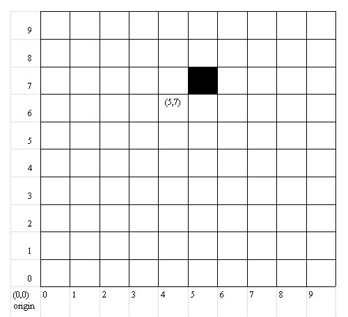
This method involved identifying plant species within selected 1metre squares (or quadrats) in each of the six areas. Each of the six distinct areas was a strata which was sampled separately. A zero co-ordinate point ((0,0) or origin) was selected for each area. (by convention, this is usually the bottom left-hand corner, this was the point chosen for the Wet Woodland Survey). By taking pairs of random numbers from a random number table, selected one metre squares could be obtained. If pairs of random numbers gave a point lying outside of the area, they were ignored and the next pair of numbers were selected from the number table.
The reason that 1 m² squares were selected was to allow for the size of the largest ground cover plants growing in any of the six distinct areas. If a smaller quadrat square had been used i.e. 0.25m², it would not have been suitable for areas with larger plants. Once selected, 1m² quadrats had to be used throughout the survey so as to maintain consistency in the results. |