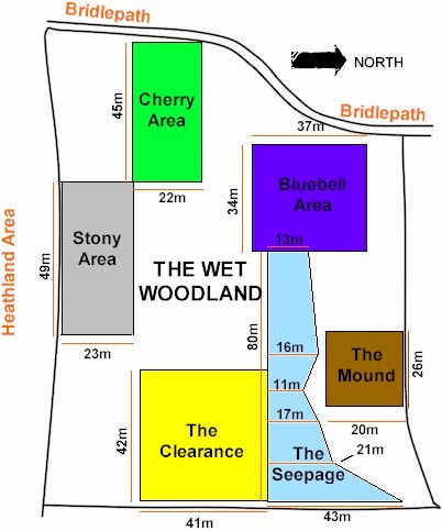
The Wet Woodland Plant Survey
Area Map
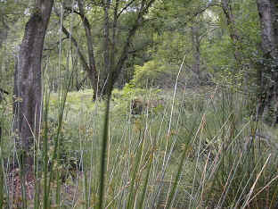
| The Wet Woodland incorporates six distinct areas of
plant diversity within the Husk. The Husk is sited on the western edge of the
Woodland Education Centre, adjacent to The Heathland Area. It is an area of mature
deciduous woodland situated on a south-east facing slope. The soil is mainly acid.
A fairly narrow channel of bog/marsh called The Seepage runs downhill through the
centre of the Husk. Adjacent to this on either side are transition zones leading to
drier areas. North and west of the Seepage the tree canopy is quite thick and more
mature, while to the south it is more open and the ground is littered with chert stones
and flints.
|
|
Where
is the Wet Woodland?
(This link will open in a new window. You will need to return to this window to
continue browsing the Wet Woodland Survey.)