The Woodland Education Centre
Remote Sensing Experiment

wpeD.jpg (37212 bytes)

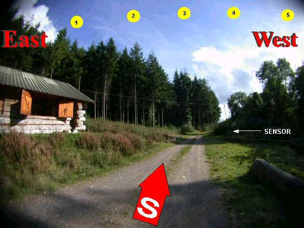
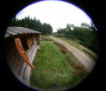
The view above shows 
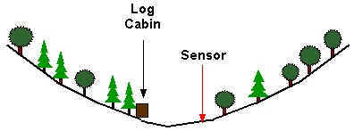
the Log Cabin and the position of the sensor when looking approximately south.  The Cabin is situated at the base of a steep sided, wooded valley.  A mature conifer plantation lies immediately east of the Cabin and mixed woodland to the west.  The photograph was taken at around 3p.m. when the sun had moved out of view to the right.   As the sun moves from east to west during the day, its approximate positions in the sky are marked with yellow circles at the following times.

Approximate Time

360° Panorama here

Interactive Map here

wpe8.jpg (932 bytes)

10.00 a.m wpeF.jpg (5359 bytes) wpeE.jpg (20348 bytes)
wpe9.jpg (933 bytes) 11.00 a.m.
wpeA.jpg (954 bytes) 11.30 a.m
wpeB.jpg (942 bytes) 12.30 p.m
wpeC.jpg (933 bytes) 1.30 p.m.
wpe7.jpg (7353 bytes) A cross-section looking southwards, of the steep sided wooded valley in which the Log Cabin and the temperature sensor are located.

For more information about the sensor and its surroundings, click here.