1996 |
1997 |
1998 |
||||||||||||||||||||||||
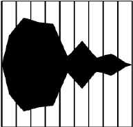
A Yorkshire Fog |
B Yorkshire Fog |
C Yorkshire Fog |
||||||||||||||||||||||||
1 |
2 |
3 |
4 |
5 |
6 |
7 |
8 |
9 |
1 |
2 |
3 |
4 |
5 |
6 |
7 |
8 |
9 |
1 |
2 |
3 |
4 |
5 |
6 |
7 |
8 |
9 |
|---|---|---|---|---|---|---|---|---|---|---|---|---|---|---|---|---|---|---|---|---|---|---|---|---|---|---|
 |
 |
 |
||||||||||||||||||||||||
Scale |
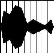
D Agrostis capillaris |
E Agrostis capillaris |
||||||||||||||||||||||||
|
 |
 |
||||||||||||||||||||||||
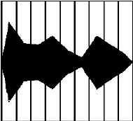
F Agrostis spp. |
G Agrostis curtisii |
H Agrostis curtisii |
||||||||||||||||||||||||
 |
 |
 |
||||||||||||||||||||||||
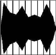
I Agrostis stolonifera |
J Agrostis stolonifera |
|||||||||||||||||||||||||
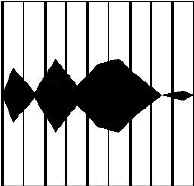
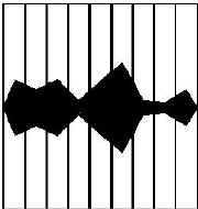
Above: There is only one diagram for all the Agrostis spp. in 1996, because the species were not seperately identified in 1996. |
 |
 |
||||||||||||||||||||||||